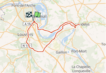

10,9 km | 12,5 km-effort

Usuario


Aplicación GPS de excursión GRATIS
 SityTrail
IGN / Institutos geográficos
SityTrail World
El mundo es suyo
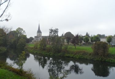
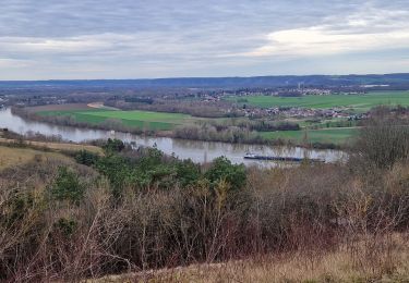
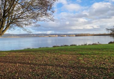
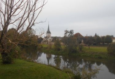
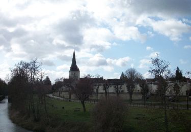
Ruta de 58 km a descubrir en Normandía, Eure, Le Vaudreuil. Esta ruta ha sido propuesta por jpbonnemains.
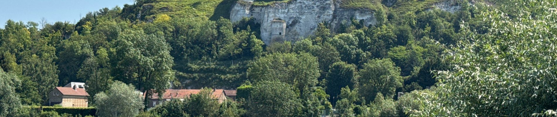
Balade assez accessible, la côte d’Ailly est particulièrement longue malgré tout.
Paysage sympa et beau étaient au rendez-vous


Ruta

Senderismo
Senderismo
Senderismo
Senderismo
Senderismo
Senderismo